Project Wild Thing: the film (90 minutes)
Wild Thing offers inspiration for the re-wilding of childhood.
Reviews:
“A gripping story of the desperate struggle to lead our computer-crazed children back to nature.”
Harry Mount, The Telegraph
“Funny, alarming and uplifting, this film will change your life. No other ninety minutes in a darkened room is more likely to get you – or your children – into the great outdoors. An exciting, inspirational exploration of our estrangement from nature and how we can all put some wildness back into our own lives. Every parent should watch it.”
Patrick Barkham, The Guardian
author, The Butterfly Isles
Inspiring short films:
Spend more time in the WILD This is Abbey Barnes’s youtube channel. Abbey walks in some of the UK’s wildest places. She is great at communicating her personal mental health journey and how we can all take steps to “cultivate a flourishing version of ourselves through time spent outdoors.”
Martineau Gardens, Birmingham:
Walking the Pembrokeshire Coastal Path:
Hiking the Causeway Coastal Path, Northern Ireland:
Walking the West Highland Way, Scotland
Walks in England: from Findon to the South Downs:
Walking the Test Way:
For when you are indoors……
TV Programmes
BBC Two Attenborough 60 Years in the Wild
Britain’s Favourite Walks with Julia Bradbury
BBC Two The Great British Year
George Clarke’s National Trust Unlocked
Publications
So many! I start with maps.
Ordnance Survey is the national mapping agency for Great Britain. The agency has been producing maps since 1791. The agency’s name indicates its original military purpose, which was to map Scotland in the wake of the Jacobite rising of 1745. There was also a more general and nationwide need in light of the potential threat of invasion during the Napoleonic Wars.
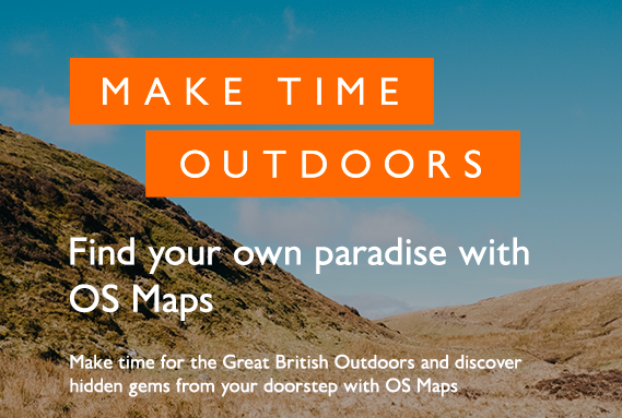
Ordnance Survey Explorer maps (with orange covers) are most suited to walkers and cyclists due to their scale (1:25,000) and the detail shown on location of rights of way, pubs, campsites, Youth Hostels and other features of interest to walkers and cyclists.
Most libraries stock copies of Ordnance Survey Explorer maps. They can also be purchased on-line or at bookshops or outdoor shops.
As well as paper maps, OS offers some apps – web-based maps, and OS Locate, which is a free app for accurately pinpointing a user’s exact location, displaying grid reference, latitude, longitude and altitude. OS Locate does not need a mobile signal to function.
Magazines: there are plenty to choose from. National Geographic is legendary (there’s a separate one for youngsters: National Geographic Kids). Other magazines include TGO (The Great Outdoors), BBC Wildlife, BBC Gardeners’ World, Country Walking, Mountain Biking UK, Trail (and the list goes on).
Books: Pathfinder Guides are an official partner of Ordnance Survey, so there are extracts from OS maps to accompany the walks descriptions. The Ramblers’ Association also publish books of walks, with the routes devised and tested by local volunteers. There are also plenty of books of walks, with a pub, tea-shop or water-side theme. There is also a series of ‘Butterfly Walks’ compiled by Butterfly Conservation (great for the summer months).
Books that I’ve enjoyed reading include:
Walk! by Colin Speakman
Walking London by Andrew Duncan
In Praise of Walking by Shane O’Mara
Open to All – How Youth Hostels Changed the World by Duncan M Simpson
Living Britain by Peter Crawford
The English Landscape (various contributing authors, with an introduction by Bill Bryson)